In July of 2009, Tech’s Parking and Transportation Services (PTS), in conjunction with Capital Planning and Space Management (CPSM) and independent consulting firm, Vanasse Hangen Brustlin, released the Parking and Transportation Master Plan. That document outlined plans, in a short term of five years and a long term of 10 years, for the Institute’s parking and transit systems, and seven years in, it’s clear that while some of the document’s recommendations have been taken, much of the short term and long term plans have been adapted to match unforeseen shifts in the Institute’s priorities.
Perhaps the most notable of proposals in the Master Plan which have come to fruition since 2009 is the Campus Transit Center (also known as the Transit Hub), which was constructed in 2011 to provide a centralized location on campus from which shuttles can operate. Still, the original plan for the center included a covered walkway for students travelling between the Transit Center Student Center, CULC, and the Skiles Classroom Building, which has not been constructed.
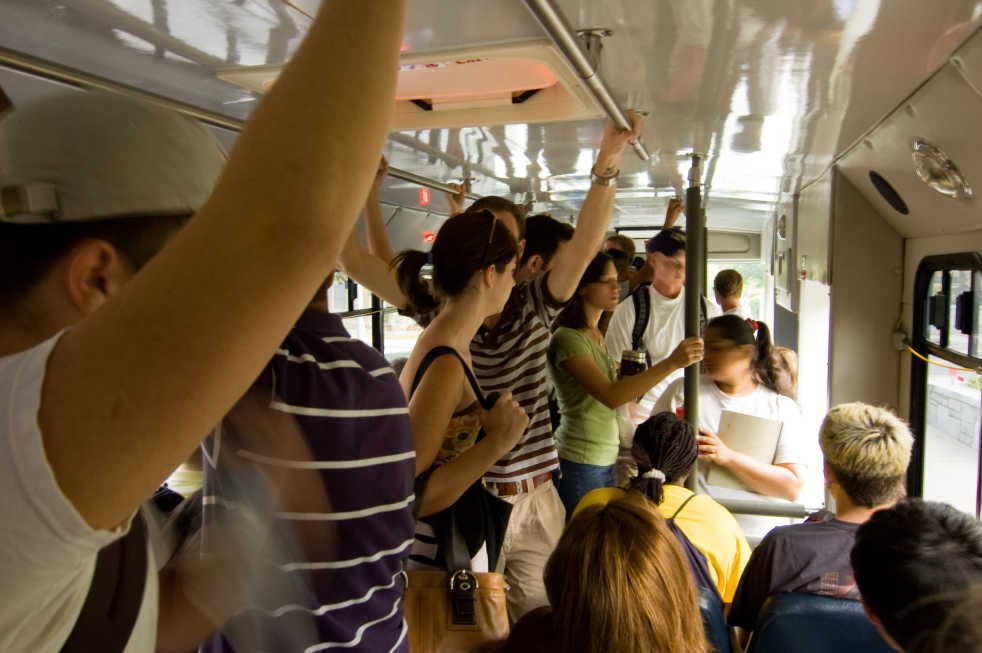
Other proposals in the plan have been partially implemented, including the modification of the Green Stinger route to increase its utility to students, seeing as it had the lowest ridership of all transportation routes in 2009. Additionally, the introduction of new shuttles was suggested to provide relief for the Tech Trolley vehicles, and has been partially accomplished with the recent introduction of the Tech Square
Express line.
Still, some of the plan’s most ambitious and exciting proposals have yet to be introduced. The plan called for the addition of three new transit routes running to several downtown destinations, including one to the Vine City MARTA Station, which adjoins the Georgia Dome and the new Mercedes-Benz Stadium; one to the CNN Center, which would provide students greater access to the Centennial Olympic Park area; and one to the Civic Center, which would include a stop directly outside of the North Avenue MARTA Station, which is currently not served by any route.
“Under our financial constraints, our priority is to provide transit within campus,” said Lisa Safstrom, a campus transportation planner with PTS. This constraint forces PTS to prioritize relieving pressure on existing routes with new shuttles over introducing new routes to other
destinations.
Safstrom also stressed that the Master Plan, which is often referred to as a “living document,” has evolved since its creation. Such evolutions are due in part to initiatives, such as the Bicycle Master Plan and other Campus Master Plans, as well as City of Atlanta initiatives such as Connect Atlanta and Cycle Atlanta. Tech’s increasing emphasis on sustainability also plays a role in determining transportation plans. Safstrom mentioned that PTS must constantly adapt to respond to the “changing demographics, demands and influences” of Tech’s community and the city around it.
When asked about external influences on PTS’s efforts, Safstrom mentioned that the stretch of North Avenue running along and adjacent to campus as well as 10th Street are being mentioned as possible routes for Atlanta’s proposed network of streetcars.
“We’re monitoring the progress of planning for the streetcar,” Safstrom said, “but … at this time, our plans have not been affected.”
It is likely, however, that increasing streetcar infrastructure will impact the expansion of Tech transportation in the future.
The Transportation Master Plan is among several encompassed by Tech’s overall Campus Master Plan; other components include the Housing Master Plan, which was also issued in 2009, as well as ADA Compliance Plans and smaller projects such as the Bicycle Master Plan.